La vente se fait expressément au comptant. Frais et taxes en sus des adjudications : 25 % TTC (20,83 % HT)
En cas de paiement par chèque, le retrait des livres pourra être différé jusqu’à l’encaissement.
EXPOSITION PUBLIQUE
Une exposition publique préalable à la vente permet aux acquéreurs de vérifier les ouvrages et documents.
Tout acheteur participant à la vente par quelque moyen que ce soit et de quelque pays qu’il vienne est considéré comme ayant lu la description du catalogue concernant les lots sur
lesquels il enchéri ainsi que les conditions de vente ; les collations annoncées au catalogue ne signifient pas nécessairement que les ouvrages sont complets, mais font simplement
état du contenu, les planches hors texte font l’objet d’une vérification (sauf mention particulière ou mention « non collationné »). Aucune réclamation ne sera acceptée une fois
l’adjudication prononcée. Les acquéreurs sont priés de vérifier soigneusement leurs achats dès leur acquisition ou réception, de les collationner en salle dès la fin des enchères,
aucune réclamation ne sera admise après leur sortie de la salle.
Pour l’achat de livres et lots hors catalogue (ou de lots annoncés au catalogue), aucune réclamation ne sera possible une fois l’adjudication effectuée, une visite ayant permis aux
acquéreurs de prendre connaissance des contenus. Les informations sont données à titre indicatif pour les lots du catalogue et les lots hors catalogues. Il est souhaitable de vérifier
leur contenu le jour de la visite et éventuellement en fin de visite pour éviter tout désagrément.
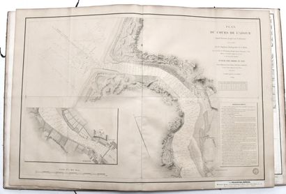
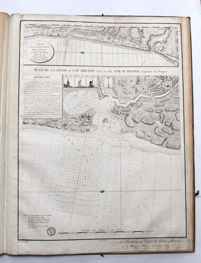
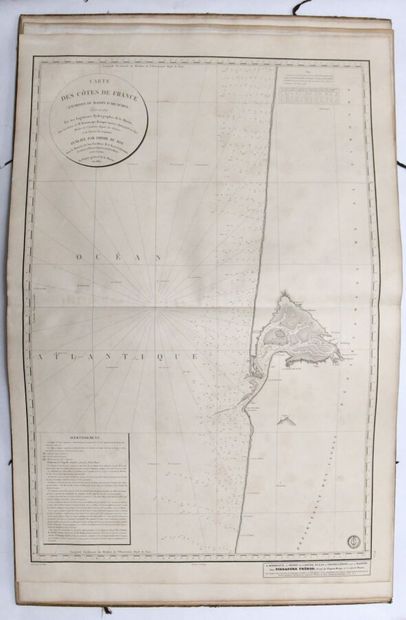
Les illustrations insérées dans le catalogue ne peuvent en aucun cas être considérées comme parfaitement conformes aux originales. Les dimensions sont données à titre indicatif.
ORDRES D’ACHAT, DEMANDE DE TELEPHONE ET LIVE
Le Commissaire-Priseur et ses collaborateurs se chargent d’exécuter gracieusement tous les ordres d’achat qui leurs seront confiés, en particulier par les amateurs ne pouvant
assister à la vente. Les ordres d’achat ou enchères par téléphone sont une facilité pour les clients.
La Maison de Ventes BRISCADIEU et/ou Me Antoine BRISCADIEU n’est pas responsable pour avoir manqué d’exécuter un ordre par erreur ou pour toute autre cause. La Maison
de Ventes BRISCADIEU et/ou Me Antoine BRISCADIEU se réserve le droit de ne pas enregistrer l’ordre d’achat s’il n’est pas complet ou si elle considère que le client n’apporte pas
toutes les garanties pour la sécurité des transactions ; sans recours possible.
Modalités d’enregistrement : Envoi par email à anne@briscadieu-bordeaux.com ou par courrier à l’adresse de l’étude, du formulaire joint au catalogue ou à défaut sur papier
libre indiquant votre nom, prénom, adresse complète et n° de lot de la vente, accompagné d’une pièce d’identité et d’un RIB. Les demandes d’ordres d’achat seront pris
en compte uniquement jusqu’à la veille de la vente à 20h ; au-delà de cette date, plus aucun ordre d’achat ne sera traité. Les ordres écrits en dessous de l’estimation ne seront pas
pris en compte. La demande d’enchère téléphonique suppose que le demandeur est acheteur à l’estimation basse. Les enchères téléphoniques en dessous de 100 euros d’estimation
ne seront pas retenues.
Pour le LIVE : inscriptions directement auprès des sites www.interencheres-live.com et www.drouotlive.com. S’agissant de services indépendants, nous déclinons toute
responsabilité en cas de dysfonctionnement.
COMMISSION ACHETEUR ET PAIEMENT
Les acquéreurs devront s’acquitter en sus du montant de l’enchère et par lot les frais et taxes suivants : 25 % TTC (20,83 % HT).
Majoration du LIVE : 3,6% TTC sur interencheres.com. 1,8 % TTC sur drouotonline.com
Le paiement devra être effectué immédiatement après la vente : • par virement bancaire (euros) : RIB sur bordereau. • par carte bancaire : Directement sur notre site internet
www.briscadieu-bordeaux.com. • en espèces (euros) jusqu’à 1000 € pour les ressortissants français ou jusqu’à 15 000€ pour les ressortissants étrangers, commission acheteur
comprise, sur présentation du passeport et d’un justificatif de domicile. • par chèque bancaire (en euros) à l’ordre de BRISCADIEU, avec présentation obligatoire d’une pièce
d’identité en cours de validité ; les chèques étrangers ne sont pas acceptés. En cas de paiement par chèque ou par virement, la délivrance des objets pourra être différée jusqu’à
l’encaissement. En cas de contestation, seul le texte français sera pris en considération.
Tout bordereau d’adjudication demeuré impayé auprès de Briscadieu Bordeaux et/ou Me Antoine Briscadieu ou ayant fait l’objet d’un retard de paiement est
susceptible d’inscription au fichier TEMIS.
INCIDENTS DE PAIEMENT - FICHIER DES RESTRICTIONS D’ACCÈS DES VENTES AUX ENCHERES (TEMIS)
Tout bordereau d’adjudication demeuré impayé après de BRISCADIEU BORDEAUX ET/OU Me ANTOINE BRISCADIEU ou ayant fait l’objet d’un retard de paiement est susceptible
d’inscription au Fichier des restrictions d’accès aux ventes aux enchères (« Fichier TEMIS ») mis en oeuvre par la société Commissaires-Priseurs Multimédia (CPM), société anonyme
à directoire, ayant son siège social sis à (75009) Paris, 37 rue de Châteaudun, immatriculée au registre du commerce et des sociétés de Paris sous le numéro 437 868 425.
Le Fichier TEMIS peut être consulté par tous les structures de vente aux enchères opérant en France abonnées à ce service. La liste des abonnés au Service TEMIS est consultable sur
le site www.interencheres.com, menu «Acheter aux enchères», rubrique «Les commissaires-priseurs».
L’inscription au Fichier TEMIS pourra avoir pour conséquence de limiter la capacité d’enchérir de l’enchérisseur auprès des Professionnels Abonnés au service TEMIS. Elle entraîne
par ailleurs la suspension temporaire de l’accès au service «Live» de la plateforme www.interencheres.com gérée par CPM, conformément aux conditions générales d’utilisation
de cette plateforme. Dans le cas où un enchérisseur est inscrit au Fichier TEMIS, BRISCADIEU BORDEAUX ET/OU Me ANTOINE BRISCADIEU pourra conditionner l’accès
aux ventes aux enchères qu’elle organise à l’utilisation de moyens de paiement ou garanties spécifiques ou refuser temporairement la participation de l’Enchérisseur aux ventes
aux enchères pour lesquelles ces garanties ne peuvent être mises en oeuvre. Les enchérisseurs souhaitant savoir s’ils font l’objet d’une inscription au Fichier TEMIS, contester
leur inscription ou exercer les droits d’accès, de rectification, d’effacement, de limitation, d’opposition dont ils disposent en application de la législation applicable en matière de
protection des données personnelles, peuvent adresser leurs demandes par écrit en justifiant de leur identité par la production d’une copie d’une pièce d’identité :
- Pour les inscriptions réalisées par BRISCADIEU BORDEAUX ET/OU Me ANTOINE BRISCADIEU : par écrit auprès de Briscadieu Bordeaux, 12-14, rue Peyronnet 33800
Bordeaux,
- Pour les inscriptions réalisées par d’autres Professionnels Abonnés : par écrit auprès de Commissaires-Priseurs Multimédia 37 rue de Châteaudun, 75009 Paris ou par
e-mail contact@temis.auction.
L’Enchérisseur dispose également du droit de saisir la Commission nationale de l’informatique et des libertés (CNIL) [3 Place de Fontenoy - TSA 80715 - 75334 PARIS CEDEX 07,
www.cnil.fr] d’une réclamation concernant son inscription au Fichier TEMIS.
Pour en savoir plus sur le Fichier TEMIS, l’enchérisseur est invité à consulter nos conditions générales de ventes.
Les notifications importantes relatives aux suites de l’adjudication seront adressées à l’adresse e-mail et/ou a l’adresse postale déclarée par l’enchérisseur auprès
de la structure lors de l’adjudication. L’enchérisseur doit informer briscadieu bordeaux de tout changement concernant ses coordonnées de contact. Egalement,
l’acheteur sera inscrit au fichier centralisé d’incidents de paiement du SYMEV (www.symev.org) et l’ensemble des dépens restera à sa charge. A compter d’un mois après la vente, et
à la demande du vendeur, la vente pourra être annulée sans recours possible.
LIVRAISON, TRANSPORT DES LOTS & FRAIS DE STOCKAGE
Aucun lot ne sera délivré sans l’acquittement des sommes dues dans leur intégralité. Dès l’adjudication prononcée, les achats sont sous l’entière responsabilité
de l’adjudicataire. L’acquéreur se charge de faire assurer ses acquisitions et la Maison de Ventes BRISCADIEU et/ou Me Antoine BRISCADIEU décline toute
responsabilité quant aux dommages que l’objet pourrait encourir dès l’adjudication prononcée.
Nous n’effectuons pas d’envoi. Pour les personnes ayant acheté par téléphone, par ordre d’achat ou en live, il conviendra de contacter les sociétés prestataires indiquées sur le
bordereau qui se chargeront de l’emballage et de l’expédition. Les acheteurs sont invités à organiser eux-mêmes le transport de leurs achats si ces conditions ne leur conviennent pas.
Le transport s’effectue aux risques et périls de l’adjudicataire, qui se charge de faire assurer ses acquisitions. La Maison de Ventes BRISCADIEU et/ou Me Antoine BRISCADIEU
décline toute responsabilité quant aux dommages que l’objet pourrait encourir dès l’adjudication prononcée ou lors du transport, pour quelque raison que ce soit.